A few weeks ago I went on a ride to Ponderosa / Great Divide area just east of Porterville, Ca. There are quiet a few OHV trails up in the 6000-8000 foot elevation range that are absolutely awesome. Most of the trails are relatively soft and smooth, with much less hard pack and rock you find in the foothills and lower elevation trails.
I have an OHV map that I got from the Forest Service Office in Porterville, Ca, but I couldn't find any online versions to link here. I will just post a few images from the ride as well as a rough map of where I went.
I only had my .001megapixel camera phone so the pictures aren't that great.
The best route would be to go up 190 from Porterville or Springville, then go through the Coy Flat campground and up the coy flat road. It is a long road that is partly paved, and very lightweight in terms of "offroad" (even a BWM could handle it. lol) After 30 minutes going South, you will finally hit an entire network of trails, some grated and smooth, some rough, but all very fun.
Kevin's KLR Adventures
Thursday, July 19, 2012
Sunday, April 10, 2011
TV Tower Road
Date: 4/10/2011
Recommendation: 5/5
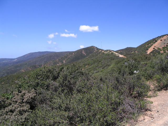
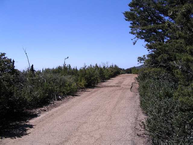
TV Tower Road is right off highway 101, just north of San Luis Obispo, and is a mountain top road that leads to two different TV and radio tower clusters. It is actually a really awesome ride, but the road is extremely choppy with massive pot holes and dips and you must pick your path along the road almost constantly. There is almost no opportunity to just cruise along and enjoy the sights, but thats why you stop... constantly.. the views are epic, and cover the entirely of San Luis Obispo, Los Osos, and Morro Bay to the west, and as far as you see into the valley to the East. I couldn't quite capture how awesome it was with my pictures (my camera is old), but its definitely amazing. Although, the air wasn't as crystal clear as I thought it would be. Make sure to bring some binoculars or something.
I was hoping the road would lead all the way through the mountains to Highway 41, so I could come back through Los Osos, but you run into a Road Closed sign. You will see on the map where the track ends. Riding back out the same way you came in was fun though, as by then you get used to the road, and you have already found some paths to take through the rough spots, and you can go a bit faster, since now you have enjoyed the sights and can focus on going fast and being dangerous.
I went on a Sunday so there was some foot traffic, some mountain bikes, a few cars, but no other Dual Sports.. I never see other dual sports. I guess everyone gets motorcycles for the dunes. Oh well.
Saturday, April 9, 2011
Huasna Road
April 9, 2011
Recommendation: 4/5
Huasna Road starts off of Lopez Road, East of Arroyo Grande on the way to Lopez Lake. You go about 12 miles (sever estimation) and it will turn into dirt. On the map, you will see many forest service roads branch off, but almost all are locked or gated off. Real bummer. I don't have a map, but for reference, the off road portion starts at coordinates: (N)35.137528, (W) -120.359087
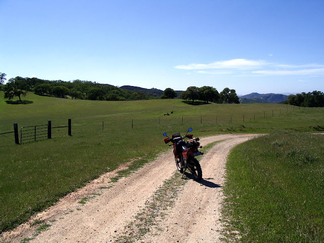
Huasna road itself is pretty fun, with a few mild river crossings, and the first few miles are grated road. Eventually the road conditions will worsen, but it only adds to the fun. It is all still relatively beginner level. After maybe 10 more miles you will run into a locked gate, where I had to turn around. Right before that is a road that cut off to the left, and I think it leads to some watch point or something, but I didn't try it.
It's a fun little run for a shorter ride and if your just starting to get used to off road. Not very technical but has a few bumps. Only 2 of the pictures are from my digital camera, the rest are from my phone camera, so they are horrible quality.
Upper Lopez Canyon Road
April 9, 2011
Recommendation: 1/5
Just came back for riding Upper Lopez Canyon Road, just north of Lopez Lake, which is north of Arroyo Grande, CA. The road stays paved north of Lopez Lake a little longer than I expected, and once the pavement ends, it is mostly grated dirt/rocks. However...
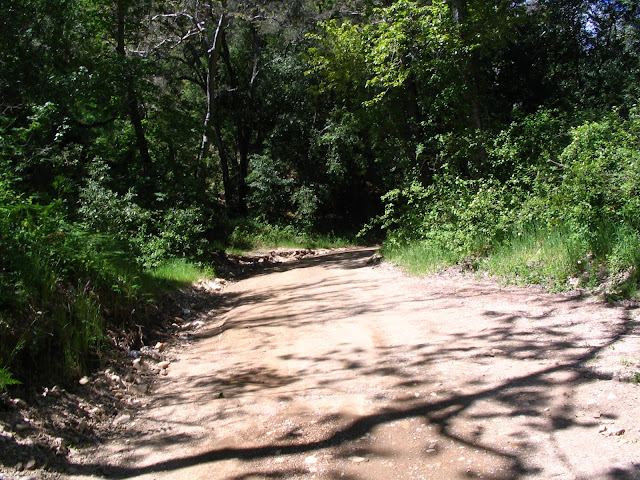
WARNING.... There are about 10-12 river crossings, which get fairly deep, and at some points, the road is actually the riverbed. Also, even though the map shows the road continuing on, it ends extremely early at a point where its walking only, with a locked gate. A few cars were parked there because I guess there are some trail heads where the road ends.
I don't recommend for Dual Purpose riding. Very short, and you'll get very wet, and there really isn't anything that exciting. If you want to practice your water riding though, or go hiking, feel free to go.
 |
| Map to Upper Lopez Canyon Road |
 |
| The "Road" curves around to the right, Lots of WATER! |
 |
| Yes, This is part of the "Road" |
Subscribe to:
Comments (Atom)


